Geophysical survey represents a class of subsurface investigations that are non-invasive with the exceptions of borehole geophysical methods that expand the use of holes already drilled to access the subsurface on a very localized basis.
Geocadinal is highly rated in the oil and gas industry with vast experience spanning several oil and gas fields.
Geocadinal are exceptional when it comes to the use of the following geophysical methods with varied equipment capacity (Magnetometer, Side Scan Sonar, Multibeam Echosounder, Sector Scanner (Mesotech Sonar), etc:
- electromagnetic methods
- magnetic methods
- seismic methods
- electrical methods, etc.
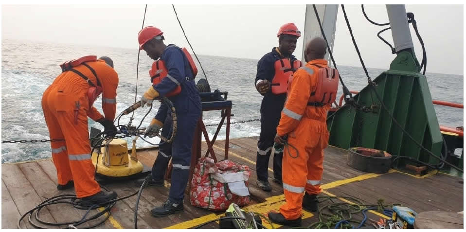
With our highly skilled and experience geophysicists, survey engineers, analysts and other experts in the Today, Geocadinal has comfortably addressed the near shore and shallow water environment unique problems and indeed offered a detailed seabed and sub-sea solution that has granted a cost-effective design and installation of marine construction projects.
With our ever reliable and well-trained specialist, Geocadinal has addressed all your needs in a dedicated near shore survey units. We offer our esteemed clients, wealth of expertise and affordable near shore hydrographic and geophysical survey services.
Indeed, our survey personnel have been well-trained to handle every multi-tasking activities of all survey operation, equipment maintenance, processing and presentation of results that exceeds our clients expectations on time.
industry, GISL offers significant time and economic savings to every of our projects and provide large and reliable data for your geophysical survey needs.
Our near-shore survey capabilities include:
- Single beam and multibeam echo sounder operations for detailed bathymetric charting in support of engineering and construction projects, navigation surveys, resource evaluation and conservancy.
- Side scan sonar surveys for detailed seabed mapping and the location and identification of man-made objects such as debris, shipwrecks, and sub-sea structures.
- Seismic profiler surveys for the investigation of sub-sea geology.
- Pre-route surveys for sub-sea cables and pipelines. Detailed corridor mapping provides the essential raw material for the design and installation of linear structures in shallow water.
- Acoustic inspection surveys for sub-sea installations, pipelines and cables.
Geo-Swath Multi-Beam System
We are highly classified specialist in multi-beam bathymetry mapping and we have excellent references for our efficient, high accuracy seabed mapping projects. GISL has equipment and competent Personnel to perform hydrographic mapping surveys. Our expertise on seabed mapping and knowledge of the IHO requirements enables us to perform high quality hydrographic surveys. The acquisition, processing and presentation of technical data relating to surface and subsurface marine environments is critical to several over-water operations, including the planning, installation and maintenance of pipelines and cables, coastal construction projects, infrastructure maintenance, navigation and the sustainment of marine ecologies. GISL Multi- beam system, Geo-Acoustics Multi-beam Echo Sounder (MBES) is a swath
bathymetry system that can be used in shallow water and depths of up to 100m. It uses an interferometric system to accurately measure water depths. It can measure swaths of about 12 times water depths.
Geo-Swath Multi-beam Unique features
The Geo-Swath Plus system comprises of a PC Based data acquisition and processing unit, two transducers, associated cabling and all necessary software so that when interfaced to appropriate peripheral sensors, the user can acquire, process, display, present and print high resolution bathymetry and Side Scan data.
***Down the Hole Geophysical Logging ***Soil Resistivity Survey Water ***Borehole Drilling and Treatment Services