Offshore/Hydrographical/Bathymetric Survey
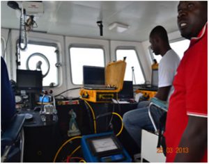
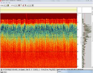
We survey and measure all factors beneath water that affect all the marine activities like dredging, marine constructions, offshore drilling etc.
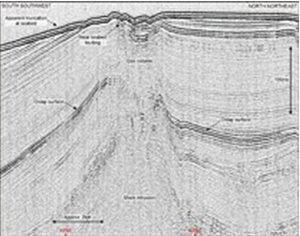
We provide accurate desktop studies to assist in cable route planning and for cable burial. Our services also include onboard soils assessment, airborne acquisition of offshore bathymetric and the acquisition of 2D/3D/4D seismic data.
We also provide 2D / 3D / 4D Seismic Data Processing Services – A complete range of AVO, Imaging, Inversion, Long offset survey, Modelling, Pre-stack depth migration, Pre-stack time migration, processing and reprocessing.
Other specific services include:
- Cable route surveys
- Burial assessment
- Desktop studies
- Hydrographic mapping
- Support for engineering projects
- Hazard surveys
- Underwater infrastructure inspection


Onshore/Topographical Survey
GISL possesses one of the best onshore topographical survey experiences with state of the art survey equipment that gives you results beyond expectation. Our topographical survey capabilities cover the following:
general land survey,
boundary survey,
survey for construction projects
- Topographical Surveys
- Well Site Surveys and Right-Of-Way Surveys
- Facility As-Built Surveys and Engineering Survey
- Cadastral / Property Survey
- Geodetic / Photogrammetric Survey
- Preliminary Investigation & Full Preparation Survey
From the field to the office, all work is performed in a professional manner and with the client in mind. We utilize emerging technologies. Our staffs have been specially trained to meet any challenges that they may face while working on their projects. Our emphasis on teamwork guarantees that each stage of the job is completed with the same level of excellence as the last, creating seamless production, and a clean accurate final result.